Tuesday, January 24, 2012

Frutillar


Frutillar is a small town along the coast of the lake just north or Puerto Varas. It was founded in 1856 and was primarily a German community developed by German settlers who were encouraged to immigrate to southern Chile as part of a colonization program in the Los Lagos region. 


Frutillar is a quaint little town known for it's awesome view of the volcano and the German Museum. The museum grounds are home to a water mill, machine warehouse, the main house and surrounding gardens. 


Henry made sure to bring Basil to show her the beautiful view. 


Dogwood in the summer? Yes please. Oh how I've missed you. 


The Mirador: this is the "look out". I want to know how much the landscape architect was paid to design and place this "mirador". Because the volcano looks pretty stellar from wherever you are.
I hate it but love it's ridiculousness at the same time. 


I don't need a mirador to tell me where to look. 


This last picture is one of my absolute favorites from the trip. We were out on a pear over Lago Llanquihue and it was super windy. But once we sat down on the bench tucked behind the cover of the wall we soaked up some sun and enjoyed our pb&j's. I think this one will be going in a frame once we get home. (*Note Axel only had peanut butter or peanut butter and banana. The pb&j doesn't settle well with Germans)


Monday, January 23, 2012

Volcan Osorno


We drove on about thirty minutes beyond the waterfalls to reach the base of Volcano Osorno. The elevation at the top is 8,701 feet (2,652 meters) and it's well known for it's "perfect volcano shape" and conical top(which is a bit difficult to see here because of the clouds). Osorno last erupted in 1869.


The trek started out incredibly windy and rainy. I was thinking to myself okay we are planning to hike for four hours, but in this???


We definitely didn't have the gear, the guides or the time to climb all the way to the top. But the hiking trails took us through some beautiful scenery. 


If you look closely you can see the steam rising off the path.


But soon it cleared up. As the Lake Region weather is known to do - the rains come and go as does the sun.


The whole afternoon was back and forth rain storm then shining sun. Just when you are almost dried out the rain would come back. But we didn't let it deter us one bit.


Who do you think won this one? 
(I'm trying to get Henry to teach me how to compile the stop motion video and upload it.. so you'll have to wait 'till then to find out)


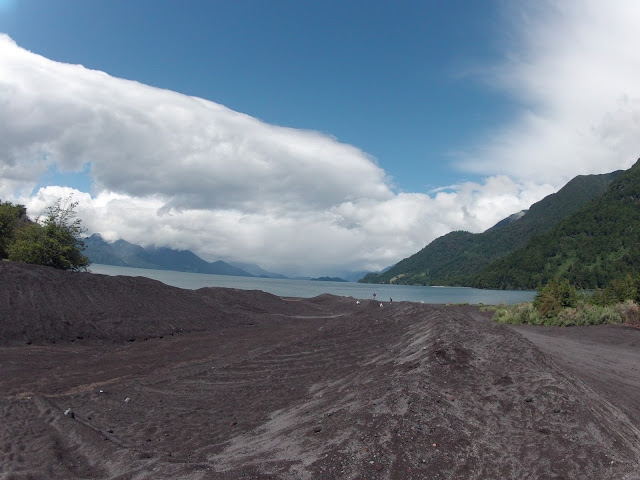
Here's looking back up at the volcano from the lake. 


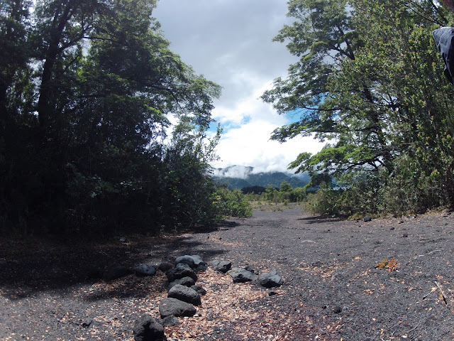
We didn't get too much specific information about the volcano and surrounding areas on our hike but my guess is that these wide dug out paths are to serve as a method to direct the lava in the event of an eruption. Some of the ones we walked through along the hike seemed more natural, possibly from previous eruptions and/or erosion and others like this one appear more man made. 


Keep calm Osorno and carry on. 


Sunday, January 22, 2012

Saltos de Petrohué


On our way to hike around  Volcano Osorno we stopped at Saltos de Petrohué. A series of waterfalls along the Petrohué river that were formed by basaltic lava from Volcano Osorno. 


 The rocks are seemingly perfect, rounded and polished. This is caused by lahars, a volcanic mudflow of sand and silt that is carried downstream when the volcano is more active.


It was a bit drizzly at first but it didn't keep us from enjoying the spectacle.


I fell in love with the incredible flora of the damp forest.


So those were the saltos. Next we headed to Volcan Osorno. Stay tuned!