We drove on about thirty minutes beyond the waterfalls to reach the base of Volcano Osorno. The elevation at the top is 8,701 feet (2,652 meters) and it's well known for it's "perfect volcano shape" and conical top(which is a bit difficult to see here because of the clouds). Osorno last erupted in 1869.
The trek started out incredibly windy and rainy. I was thinking to myself okay we are planning to hike for four hours, but in this???
We definitely didn't have the gear, the guides or the time to climb all the way to the top. But the hiking trails took us through some beautiful scenery.
If you look closely you can see the steam rising off the path.
But soon it cleared up. As the Lake Region weather is known to do - the rains come and go as does the sun.
The whole afternoon was back and forth rain storm then shining sun. Just when you are almost dried out the rain would come back. But we didn't let it deter us one bit.
Who do you think won this one?
(I'm trying to get Henry to teach me how to compile the stop motion video and upload it.. so you'll have to wait 'till then to find out)
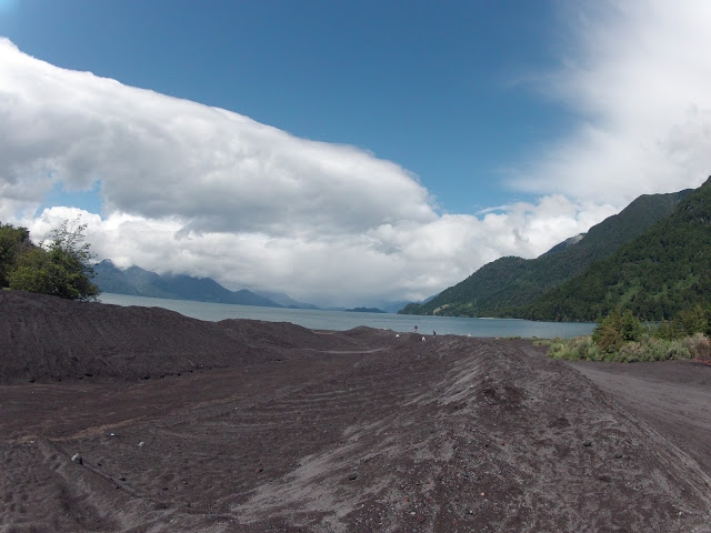
Here's looking back up at the volcano from the lake.
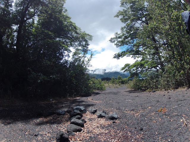
We didn't get too much specific information about the volcano and surrounding areas on our hike but my guess is that these wide dug out paths are to serve as a method to direct the lava in the event of an eruption. Some of the ones we walked through along the hike seemed more natural, possibly from previous eruptions and/or erosion and others like this one appear more man made.
Keep calm Osorno and carry on.


Absolutely beautiful!!!! What wonderful memories... And, okay, I want to know who won!!!! Can't wait to see the next adventure......
ReplyDelete